
Browse Items (264 total)
Sort by:
Radio Direction Finder (RDF)
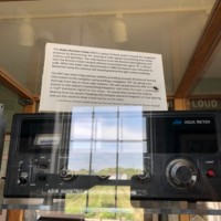
This Radio Direction Finder (RDF) is typical of those used in vessels for navigation purposes by determining the bearing of radio signals transmitting from shore stations and lightships. The radio beacon from the Brenton Reef lightship and later the…
Quick Red Flashing Navigation Light
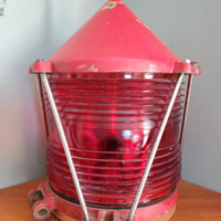
This "Quick Red Flashing" navigation light was donated to the museum by Ronald Bugenski MM2, former Assistant Lighthouse Keeper here at Beavertail from 1962 to 1965.
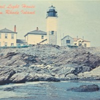
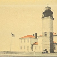
Postcard Beavertail Lighthouse
Postcard Beavertail Lighthouse
Color photo - Stanley J. Szelka
Color photo - Stanley J. Szelka
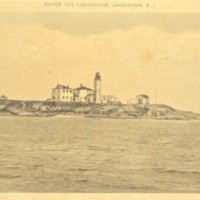
Postcard Beavertail Lighthouse
Postcard Beavertail Lighthouse
Beavertail Point - Copyright John T Hopf
Beavertail Point - Copyright John T Hopf
Postcard Beavertail Lighthouse
Postcard Beavertail Lighthouse
Color photo - Kowal
Color photo - Kowal
Postcard Beavertail Lighthouse
Postcard Beavertail Lighthouse
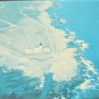
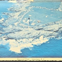
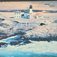
Aerial photo - Jerry Taylor, Newport, RI
Aerial photo - Jerry Taylor, Newport, RI
Postcard Beavertail Lighthouse
Postcard Beavertail Lighthouse
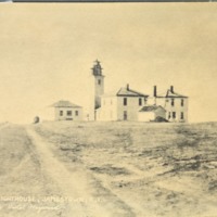
Photo by Violet Hayward - ca 1930s
Photo by Violet Hayward - ca 1930s
Postcard Beavertail Lighthouse
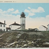
Postcard Beavertail Lighthouse
Postcard Beavertail Lighthouse
Postcard Beavertail Lighthouse
Postcard Beavertail Lighthouse
Postcard Beavertail Lighthouse
Postcard Beavertail Lighthouse
Postcard Beavertail Lighthouse
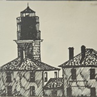
Jamestown series 1980
Fran Gorman ink
Jamestown series 1980
Fran Gorman ink
Postcard Beavertail Lighthouse
Postcard Beavertail Lighthouse
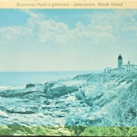
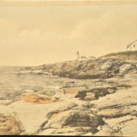
Postcard Beavertail Light from the Rocks
Postcard Beavertail Lighthouse
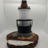
Pomham Rocks Lighthouse- Model
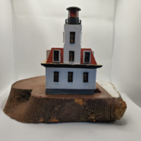
This lighthouse was built in 1871, standing at 76ft tall with a fixed red character. It is located at 41 degrees North and 71 degrees West Providence River with no fog signal. Pomham Rocks was maintained for 103 years until it was discontinued in…
Pomham Rocks Light model

Hand built model
Point Judith Lighthouse - Model
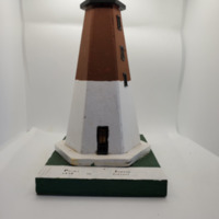
This lighthouse was built in 1810, standing at 67ft tall with a flashing white character. It is located at 41 degrees North and 71 degrees West with a siren for its fog signal.
Plum Point Lighthouse
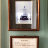
The photo of Plum Point Lighthouse was taken between 1892 and 1897. It was identified as a true "Rhode Island Lighthouse" The photo was donated by Robert A. & Virginia K. Flynn.
Plum Beach Lighthouse -Model
This lighthouse was built in 1897, standing at 53ft tall with a flashing white character. It is located 41 degrees North and 71 degree West on Plum Beach Shoal with a bell for its fog signal. Plum Beach was maintained for 44 years until it was…
Photograph of Ann Neal (Goddard) Shaw assistant Keeper 1864. Wife of Keeper Silas Shaw

Photograph - information on back
Photo of Young Robert I. Dennis in front of giant buoy
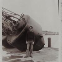
When Robert I. Dennis was young, he would have to maintain upkeep and light to various buoys in Narragansett Bay.