Dublin Core
Identifier
Title
Description
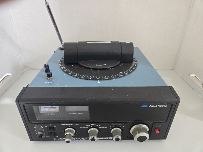
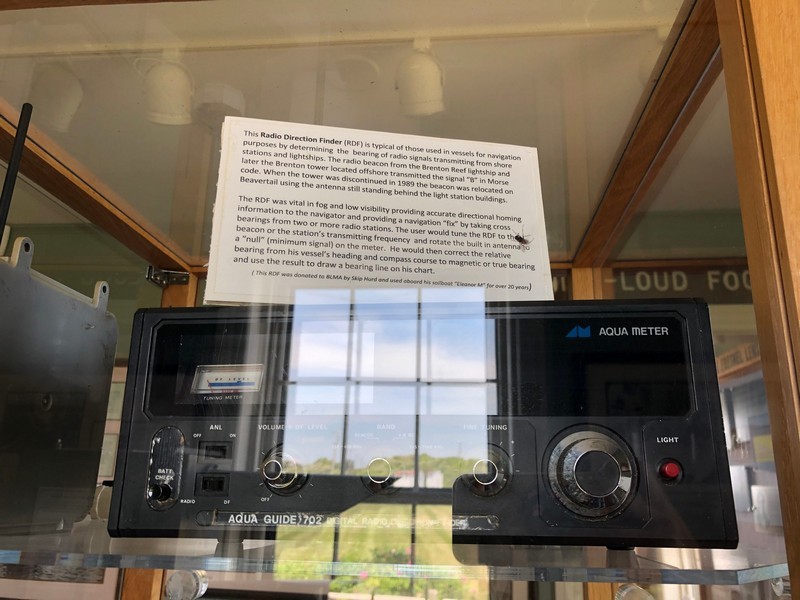
This Radio Direction Finder (RDF) is typical of those used in vessels for navigation purposes by determining the bearing of radio signals transmitting from shore stations and lightships. The radio beacon from the Brenton Reef lightship and later the Brenton tower located offshore transmitted the signal "B" in Morse code. When the tower was discontinued in 1989 the beacon was relocated on Beavertail using the antenna still standing behind the light station buildings.
The RDF was vital in fog and low visibility providing accurate directional homing information to the navigator and providing a navigation "fix" by taking cross bearings from two or more stations. The user would tune the RDF to the beacon or the station's transmitting frequency and rotate the built-in antenna to a "null" (minimum signal) on the meter. He would then correct the relative bearing from his vessel's heading and compass course to magnetic or true bearing and use the result to draw a bearing line on his chart.
This RDF was donated to BLMA by Skip Hurd and used aboard his sailboat, "Eleanor M" for over 20 years.


