Browse Items (305 total)
Sort by:

Mr. Rat of Beavertail Lighthouse
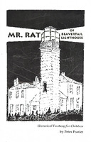
20-page book by Peter Frazier Copywrite 1997
Ron Bugenske Video
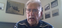
Video donated to BLMA by Linda Warner.
12 min 6 seconds long
m4v format video
12 min 6 seconds long
m4v format video
Clayton Wood Wall Exhibit
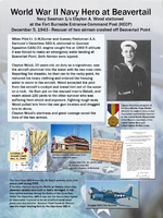
Wall Exhibit telling the story of Clayton Woods rescuing 2 pilots
First Light Wall Exhibit
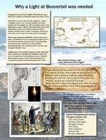
Wall Exhibit showing the history of the original lights at Beavertail
Brenton Reef Lightship Wall Exhibit
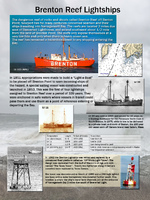
Wall Exhibit showing the history of the Brenton Reef Light Ships