Browse Items (40 total)

  • Tags: East Wall

Copy of Clayton Wood copy.jpg
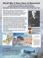
Wall Exhibit telling the story of Clayton Woods rescuing 2 pilots

IMG-5320.jpg
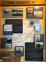
This storyboard summarizes the building and expansion of lighthouses in Rhode Island and Narragansett Bay waters in the 18th and 19th century

IMG-5321.jpg
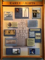
This storyboard presents stories of the earliest lighthouses in Rhode Island and Narragansett Bay.

conimicut-front.jpg
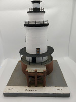
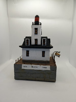
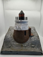
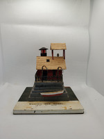
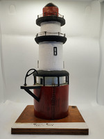
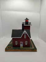
This lighthouse was built in 1868, standing at 58ft tall and has a fixed white with red sector. It has a bell as its fog signal and is located 41 degrees North and 71 degrees West on the end of Conimicut sand split.

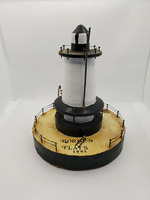
borden-front.jpg
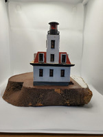
This lighthouse was built in 1881, standing at 48ft tall with a fixed white character. It is located at 41 degrees North and 71 degrees West on the Bordens Flats in Taunton River with a bell for its fog signal.

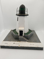
sandy-front.jpg
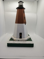
This lighthouse was moved to Goat Island in 1852 and has a height of 28ft with a fixed white character. It is located at 41 degrees North and 71 degrees West on East Side of Prudence Island with a bell for its fog signal.

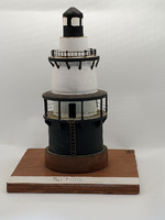
hog-front.jpg
The lighthouse was built in 1901, standing at 54ft tall with a flashing white character. It is located at 41 degrees North and 71 degrees West on Hog Island Shoal.

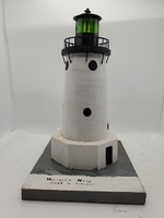
Warwick-front.jpg
The lighthouse was built in 1826, and then rebuilt in 1932, standing at a height of 54ft with a fixed white character. It is located at 41 degrees North and 71 degrees West with a siren for a fog signal.

bullocks-front.jpg
This lighthouse was built in 1872, standing at 50ft tall with a red fixed character. It is located at 41 degrees North and 71 degree West on shoal off Bullocks Point. Bullocks Point was maintained for 66 years until it was discontinued in 1939.

gull-front.jpg
This lighthouse was built in 1887, standing at 42ft tall with a East-White, West-Red character. It is located at 41 degrees North and 71 degrees West on Gull Rocks -- Newport Harbor with a bell for a fog signal. Gull Rocks was maintained for 73 years…

watchHill-front.jpg
This lighthouse was built in 1807, standing at 62ft tall with a fixed white character. It is located at 41 degrees North and 71 degrees West on Watch Hill Point with a horn for its fog signal.

rose-front.jpg
This lighthouse was built in 1870, standing at 48ft tall with a fixed red character. It is located at 41 degrees North and 71 degrees West on Rose Island with a bell as its fog signal. It was maintained for 101 years until it was discontinued in…

sabin-front.jpg
This lighthouse was built in 1872, standing at 46ft tall with a fixed red character. It is located at 41 degrees North and 71 degrees West with a bell as its fog signal. Sabin Point was maintained for 97 years until it was discontinued in 1969.

pomham-front.jpg
This lighthouse was built in 1871, standing at 76ft tall with a fixed red character. It is located at 41 degrees North and 71 degrees West Providence River with no fog signal. Pomham Rocks was maintained for 103 years until it was discontinued in…

SE-front.jpg
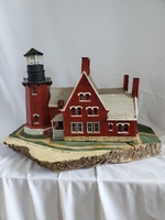
This lighthouse was built in 1875, standing at 201ft tall with a fixed white character. It is located 41 degrees North and 71 degrees West on Mohegan Bluffs, Block Island with a stream siren as its fog signal.

judith-front.jpg
This lighthouse was built in 1810, standing at 67ft tall with a flashing white character. It is located at 41 degrees North and 71 degrees West with a siren for its fog signal.

castle-front.jpg
This lighthouse was built in 1890, standing at 40ft tall with a flashing red character. It is located at 41 degrees North and 71 degrees West on West side of Castle Hill with a bell for its fog signal.

mussel-front.jpg
This lighthouse was built in 1873, standing at 33ft tall with a fixed red character. It is located 41 degrees North and 71 degrees West with a bell as its fog signal. Musselbed Shoals was maintained for 66 years until it was discontinued in 1939.

whale-front.jpg
This lighthouse was built in 1882, standing at 71ft tall with a fixed red character. It is located at 41 degrees North and 71 degrees West on Whale Rock with a bell for its fog signal. Whale Rock was maintained for 56 years until it was discontinued…

conanicut-front.jpg
This lighthouse was built in 1886, standing at 45ft tall with a fixed red character. It is located at 41 degrees North and 71 degrees West, North end on Conanicut Island. Conanicut Point was maintained for 47 years until it was discontinued in 1933.
Output Formats

atom, csv, dcmes-xml, json, omeka-xml, rss2